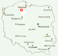
Map of Poland showing the location (in red outline) of the map at right
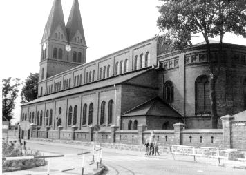
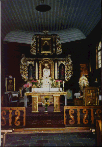
Presented here are descriptions of villages that are associated with the webmaster's paternal grandmother's ancestors, the Kl'opotek-Gl'ówczewskis, from the Kaszuby region of Poland. The descriptions are translated from the Polish from the Sl'ownik Geograficzny [Geographical Dictionary of the Former Kingdom of Poland and other Slavic Lands], a gazetteer published between 1880 and 1902 by Filip Sulimierski.
|
|
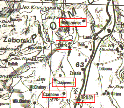
Map of South Kaszuby Villages
A detail of the area immediately to the north of Brusy, near Chojnice, Kujawy-Pomorze province, Poland (Brusy is lower middle right). The villages described are boxed in red outline. North is up; the area covered by the map is approximately 15 km x 15 km [9 mi. x 9 mi.]. Source: R V Verlag Euro-Reiseatlas Polen, 1994.
|