
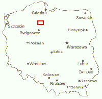
Map of Ancestral Villages A detail of the area immediately to the southeast and east of Tuchola, near Bydgoszcz, Kujawy-Pomorze province, Poland (Tuchola is upper left). North is up; the area covered by the map is approximately 37 km x 21 km [23 mi. x 13 mi.]. Source: R V Verlag Euro-Reiseatlas Polen, 1994. |
The ancestral villages are highlighted in red on the map at left. Click on the village name to learn about it and the ancestor connected with it. The descriptions are translated from the Polish from the Slownik Geograficzny [Geographical Dictionary of the Former Kingdom of Poland and other Slavic Lands], a gazetteer published between 1880 and 1902 by Filip Sulimierski. |